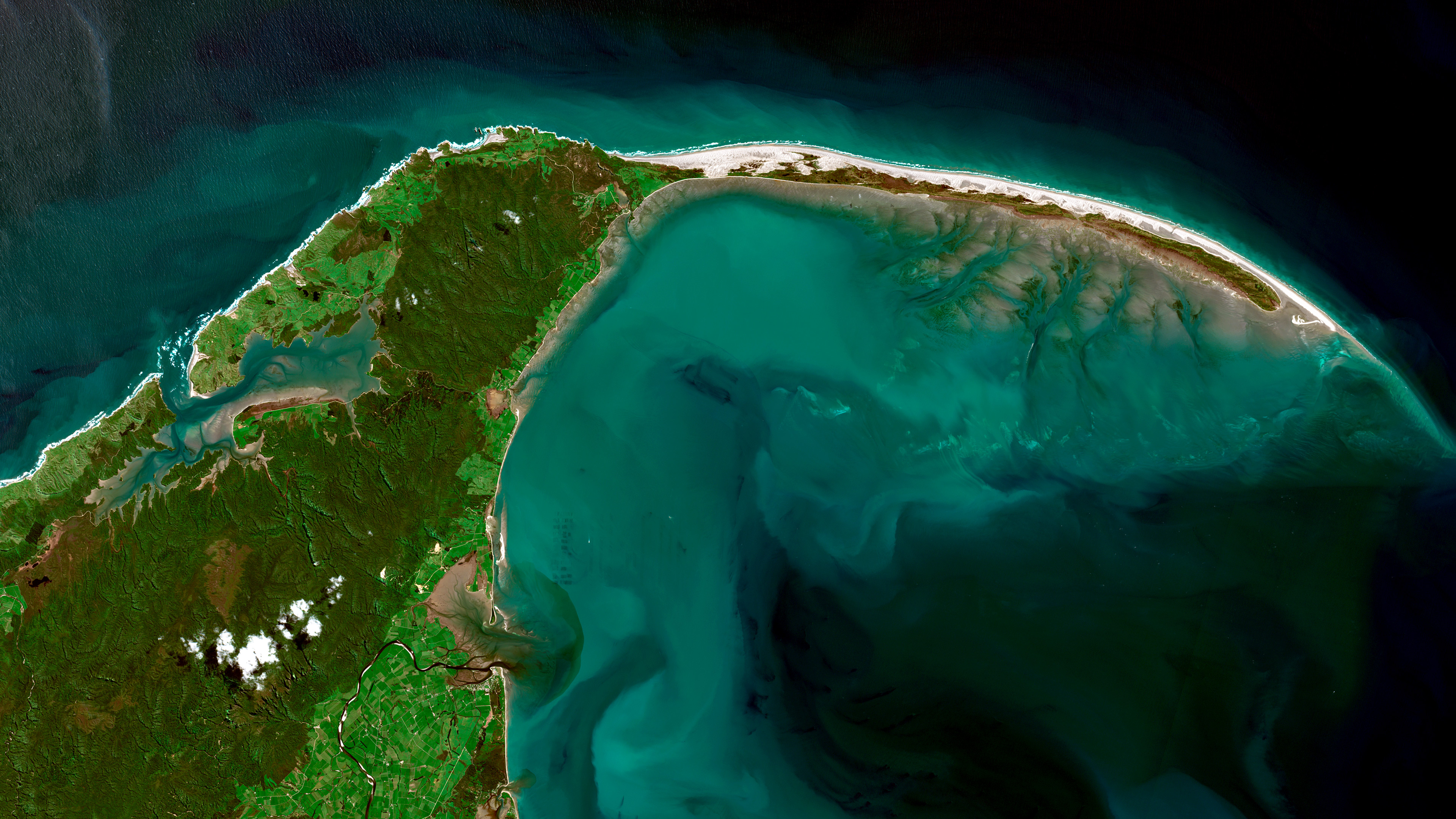
Satellite view of Farewell Spit (Onetahua), South Island of New Zealand
A kiwi-shaped spit
This overview of New Zealand’s kiwi-shaped Farewell Spit is one of countless finely detailed images available in the Microsoft Planetary Computer. This vast, cloud-powered database lets scientists see a whole timeline of crisp satellite captures and environmental data for any location in the world. By analysing this data, scientists can explore better ways to manage natural resources. For example, a scientist could match shots of Farewell Spit year-over-year with historical wind and tidal data to show how and why its dune-lined shores have shifted over time.